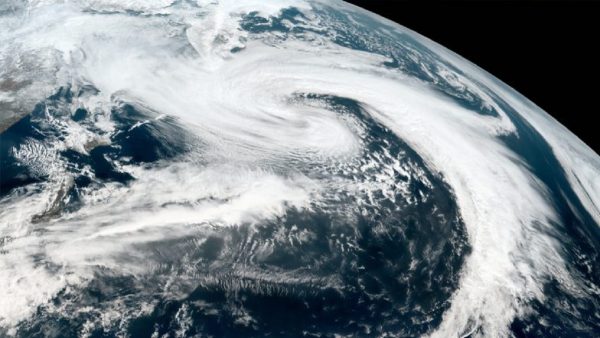

New Delhi: The India Meteorological Department (IMD) said that Cyclone ‘Tej’ is currently centered 330 km east of Socotra, Yemen and brewing over the Arabian Sea, is expected to transform into a Very Severe Cyclonic Storm (VSCS) before noon on Sunday. The weather department also noted that the severe Cyclonic Storm is anticipated to further intensify into a deep depression during the next 24 hours.
The Indian Meteorological Department tweeted, “VSCS (very severe cyclonic storm) Tej lay centered at 2330 IST of 21st Oct over SW Arabian Sea about 330 km ESE of Socotra (Yemen), 690 km SSE of Salalah (Oman), and 720 km SE of Al Ghaydah (Yemen). Very likely to intensify further into an Extremely Severe Cyclonic Storm in the forenoon of 22nd Oct.”
It further said that Tej is anticipated to make landfall between Al Ghaidah (Yemen) and Salalah (Oman) on October 25. On Saturday, the IMD said the sea condition over the southwest Arabian Sea remains very rough and is likely to become extremely rough from October 21 to 23. In the western Arabian Sea, sea conditions are very rough. The weather is expected to remain bad from 22 to 25 October.
The Indian Meteorological Department said that Moderate to rough sea conditions are very likely to prevail over southwest, west-central and adjoining Bay of Bengal on October 21 and rough to very rough sea conditions are likely to prevail on October 23. Meanwhile, the weather department has predicted rough to very rough sea conditions along the coasts of Odisha, West Bengal and Bangladesh from October 24 to 26.
After this, The weather department issued an advisory for fishermen and asked them not to venture into the sea and coasts till October 26. The IMD classifies a system as a cyclonic storm when its 3-minute average maximum sustained wind speed ranges from 63-88 kmph.
Similarly, a severe cyclonic storm is characterized by winds between 89–117 kmph, a very severe cyclonic storm falls within the range of 118–165 kmph, and an extremely severe cyclonic storm has winds between 166–220 kmph. The wind speed is between 1.5 per hour. A wind speed of more than 221 km per hour is indicative of a super cyclone.